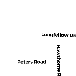
5 HAWTHORNE RD
Owner Information
PHILLIPS ROBERT
5 HAWTHORNE RD
NEWBURYPORT, MA 01950


Property Details
5 HAWTHORNE RD is classified as a Single Family Residential (Cape cod).
The primary structure on this property was built in 1964. There are 2834ft2 of built area within this property. There is 1625ft2 of residential/living space within this property. This property is listed as having 70 rooms.
5 HAWTHORNE RD is valued at 439300. The land is valued at 239300 and the structures are valued at 200000.
This property is in Zone R1. Confirm with local Zoning Board authorities to ensure there are no overlays or other easements on this property.
The most recent deed for 5 HAWTHORNE RD is recorded at the local registrar in Book 37401, Page 524. 5 HAWTHORNE RD was last sold on 2019-03-26 for 430000.
Assessment data from fiscal year 2021.
Flood Data
According to the FEMA National Flood Hazard Layer, this property does not appear to be in a flood zone. It may also be in an area not yet reviewed. Nonetheless, confirm this information prior to taking any action.
To view the flood hazards around this property, create a FEMA "Firmette" Map of the area around 5 HAWTHORNE RD.
Broadband Internet Providers
| Provider | Type | Bandwidth (mbps) | |
|---|---|---|---|
| T-Mobile | Fixed Wireless | 25 | 3 |
| GCI Communication Corp. | Satellite | 0 | 0 |
| Viasat Inc | Satellite | 100 | 3 |
| Comcast | Cable | 1000 | 35 |
| Verizon New England Inc. | DSL | 5 | 0 |
| VSAT Systems, LLC. | Satellite | 2 | 1 |
| HughesNet | Satellite | 25 | 3 |
Broadband service provider data from December 2020.
Adjacent Properties
- 7 HAWTHORNE RD
Single Family Residential owned by LEVER KIM - 8 ELIZABETH LN
Single Family Residential owned by GAVIN JOSEPH - 6 ELIZABETH LN
Single Family Residential owned by PADHAISKY NICHOLAS A - 4 ELIZABETH LN
Single Family Residential owned by EMRO GUY V III - 3 HAWTHORNE RD
Single Family Residential owned by SULLIVAN TIMOTHY & LYDIA T/E